3d Media Solutions is a multidisciplinary company specialising in comprehensive land and engineering survey services across various sectors. Our commitment to transparency and value is reflected in our fixed-price solutions, ensuring that clients can engage with confidence, knowing that cost overruns will be prevented.
- Comprehensive Survey Services
We offer a wide range of services tailored to meet the specific needs of our clients in industries such as construction, infrastructure, environmental management, and urban planning. Our multidisciplinary approach allows us to leverage expertise across different fields, providing holistic survey solutions. Structural Monitoring
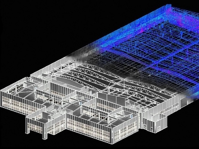
Our structural monitoring services deliver critical insights that are invaluable for engineers and project stakeholders. By continuously assessing structural integrity, our monitoring solutions aid in the analysis and evaluation of structural movement due to both external influences—such as environmental conditions and load changes—and inherent design faults.
Utilising advanced technology, we track real-time data related to structural variations, empowering engineers to make informed decisions regarding maintenance, repairs, and long-term planning. Our proactive approach to structural monitoring enhances safety and reliability, ensuring that projects meet regulatory standards and operate efficiently over their intended lifespan.
- Client-Centric Approach
At 3d Media, we pride ourselves on fostering collaborative relationships with our clients. Our team of skilled professionals not only provides accurate data but also offers expert advice and support tailored to your project’s unique requirements. We are dedicated to delivering timely, reliable, and high-quality surveying services that contribute to the overall success of your projects.
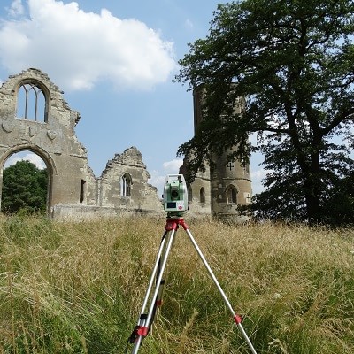
Construction Surveying - The establishment of accurate primary survey control, setting out structural features/geospatial points and the reporting of as-built information.
Land & Building Surveying - The representation of the earth surface and it's features as topographical drawings, building plans, elevations, sections and 3D models.
Our resourceful survey teams are working throughout Ireland capturing key data used for topographical 3d CAD surveys, building surveys, land surveys and structural monitoring.